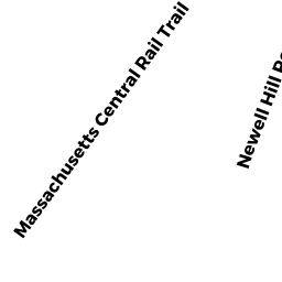
14 NEWELL HILL ROAD
Owner Information
WOODSMALL JOHN R JR
PO BOX 0344
STERLING, MA 01564


Property Details
14 NEWELL HILL ROAD is classified as a Single Family Residential (Colonial).
The primary structure on this property was built in 1977. There are 4,208ft2 of built area within this property. There is 2,358ft2 of residential/living space within this property. This property is listed as having 8 rooms.
14 NEWELL HILL ROAD is valued at $374,600. The land is valued at $160,300 and the structures are valued at $207,900. There is an additional valuation of $6,400 on this property.
This property is in Zone RRF. Confirm with local Zoning Board authorities to ensure there are no overlays or other easements on this property.
The most recent deed for 14 NEWELL HILL ROAD is recorded at the local registrar in Book 09070, Page 0180. 14 NEWELL HILL ROAD was last sold on Wednesday, November 20, 1985 for $1.
Assessment data from fiscal year 2022.
Flood Data
According to the FEMA National Flood Hazard Layer, this property does not appear to be in a flood zone. It may also be in an area not yet reviewed. Nonetheless, confirm this information prior to taking any action.
To view the flood hazards around this property, create a FEMA "Firmette" Map of the area around 14 NEWELL HILL ROAD.
Broadband Internet Providers
| Provider | Type | Bandwidth (mbps) | |
|---|---|---|---|
| VSAT Systems, LLC. | Satellite | 2 | 1 |
| T-Mobile | Fixed Wireless | 25 | 3 |
| Comcast | Cable | 1000 | 35 |
| Verizon New England Inc. | DSL | 15 | 1 |
| Viasat Inc | Satellite | 100 | 3 |
| HughesNet | Satellite | 25 | 3 |
| GCI Communication Corp. | Satellite | 0 | 0 |
Broadband service provider data from December 2020.
Adjacent Properties
- 18 NEWELL HILL ROAD
Single Family Residential owned by ROTTI TODD PAUL - 21 JAMES ROAD
Single Family Residential owned by SHANNON MARTELOCK - 0 JAMES ROAD
Undevelopable Residential Land owned by DUPLESSIS, BRIAN - 12 NEWELL HILL ROAD
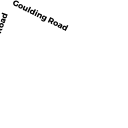
Single Family Residential owned by SMOLA JENNIFER A - 7 GOULDING ROAD
Single Family Residential owned by PASQUALE JEFFREY E - 5 GOULDING ROAD
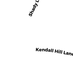
Single Family Residential owned by OUELLETTE JASON M - 19 SHADY LANE
Single Family Residential owned by DELVECCHIO MARK P